X-band radar helps ships locate nearby traffic and navigation hazards, measures precipitation, maps the Earth’s surface, and tracks targets for airborne interception and missile guidance. These applications use different radar systems within the broad 8–12 GHz band. [1]
Table of Contents
Ship navigation and rescue
During harbour approaches and collision avoidance, ship crews use marine X-band radar to locate vessels, shorelines, navigation marks and obstacles. Suitable equipment can also detect radar search and rescue transponders (SARTs). IMO Resolution MSC.192(79), adopted in 2004, identifies 9.2–9.5 GHz for maritime X-band radar. [2]
IMO identifies X-band for high target discrimination, good sensitivity and tracking performance. Rain and echoes from waves can still hide a small boat’s return; the standard identifies 2.9–3.1 GHz S-band for maintaining detection and tracking in adverse conditions. [2]
Rainfall and storm monitoring
X-band weather radar measures precipitation reflectivity—the strength of the returned echoes. Doppler-equipped systems also measure how fast precipitation particles move toward or away from the radar. [3]
Researchers use X-band radar to monitor watershed rainfall, study urban hydrology and fill gaps in weather-radar coverage. For the same beamwidth, its antenna can be smaller than one operating at a longer wavelength. Heavy rain along the signal path can obscure distant echoes; attenuation correction cannot recover a signal lost completely. [4]
Hurricane research from aircraft
NOAA’s WP-3D instrument description, updated on 16 June 2003, documents a 9.315 GHz tail radar used for Doppler observations in hurricanes. It describes flying closer to the area of interest to shorten the radar signal’s path through intervening rain. This is a historical instrument configuration. [5]
Surface mapping and ground movement
TerraSAR-X maps land use, disaster damage, glaciers and sea ice with X-band synthetic aperture radar (SAR). It can collect images at night. Researchers use interferometry to compare observations from separate passes and track ground movement from earthquakes, subsidence and landslides. [6]
| Mode | Coverage described by DLR | Image resolution |
|---|---|---|
| Spotlight | 10 × 10 km scene | 1–2 m |
| Stripmap | 30 km-wide strip | 3–6 m |
| ScanSAR | 100 km-wide strip | 16 m |
Reading the mapping figures
Comparing DLR’s published modes reveals a useful distinction: Spotlight specifies a complete scene, while Stripmap and ScanSAR specify strip widths. Their total mapped areas cannot be compared without a strip length. The listed resolutions describe image detail, not guaranteed identification of objects of the same size. [7]
Defence and space-object tracking
X-band radar is used for short-range target tracking, airborne interception and missile guidance. [1]
The forward-based AN/TPY-2 is a transportable X-band phased-array radar used in missile defence. The US Missile Defense Agency began testing its ability to detect, track and report objects in Earth orbit in FY2023. [8]
Matching hardware to the application
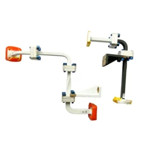
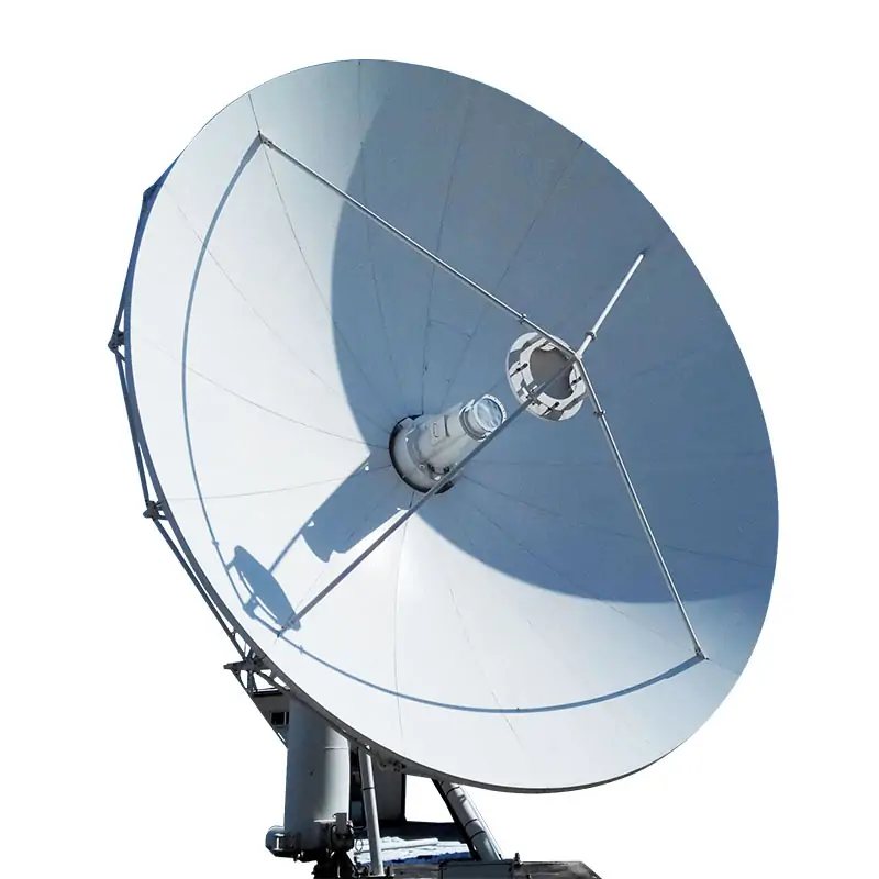
For reflector-based radar applications, the antenna feed network must match the operating frequencies, polarization and reflector geometry. The X-band label alone does not specify a compatible feed assembly.
Discuss your X-band RF component requirements
Send Dolph Microwave your operating frequencies, waveguide or connector interfaces, power requirements and available space for a component review.
Request a component review