
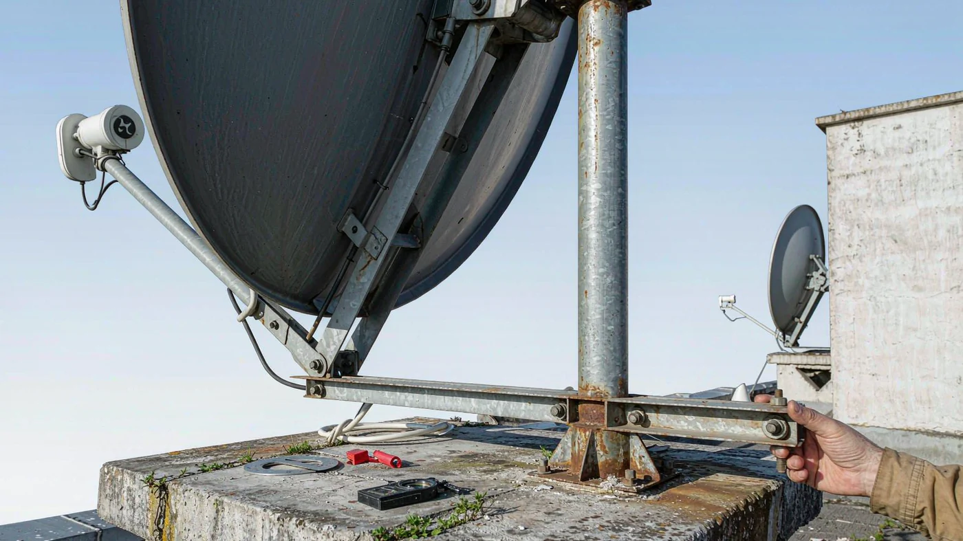
To aim a fixed dish at a geostationary satellite, start with your site latitude, site longitude, and the satellite’s orbital longitude. Use the longitude gap and your latitude to calculate elevation, then use the satellite’s east or west direction and your hemisphere to calculate true azimuth. For example, a dish at 40° N, 100° W aimed at 101° W points at 181.6° true azimuth and 43.7° elevation. Apply magnetic declination only if you need a magnetic compass bearing.
A geostationary satellite orbits above the equator at about 35,786 km altitude and appears fixed in the sky. That is why a single orbital longitude is enough for this calculation [1].
Table of Contents
What Azimuth and Elevation Actually Mean
Azimuth is measured clockwise from true north: north is 0°, east 90°, south 180°, and west 270° [2]. Elevation is the angle of the antenna beam above the local horizontal, not the tilt of the reflector face [3].
A magnetic compass instead starts at magnetic north. The angle between magnetic and true north is magnetic declination [4].
What You Need Before You Calculate
- Site latitude in decimal degrees: north positive, south negative.
- Site longitude in decimal degrees: east positive, west negative.
- Satellite orbital longitude from the operator, also east positive and west negative.
Use degree mode on a handheld calculator. If your software uses radians, convert the inputs before calling trig functions and convert the resulting angles back to degrees. Keep intermediate values unrounded.
This model assumes a spherical Earth and a circular equatorial orbit. The sub-satellite point is the spot on Earth directly below the satellite, at latitude 0° and the satellite’s orbital longitude [5].
The Central Angle Between You and the Satellite
Subtract site longitude from satellite longitude and wrap the result to −180° through +180°. Call this signed difference Δ: positive is east and negative is west. Its magnitude is the longitude gap.
γ = arccos[cos(site latitude) × cos(Δ)]
γ (gamma) is the angle at Earth’s center between the site and the sub-satellite point. If both share a longitude, γ equals the magnitude of the site latitude [6].
How Elevation Comes From That Angle
Use a model Earth radius of 6,378 km [7]. Adding the 35,786 km orbital altitude gives a radius of 42,164 km from Earth’s center. Their ratio is k = 6,378 / 42,164 ≈ 0.15127 [8].
The geometric horizon is at cos(γ) = k, or γ ≈ 81.3°. If cos(γ) is below k, the satellite is below the horizon in this model. If γ = 0°, the satellite is directly overhead at 90° elevation. Otherwise, for a satellite at or above the horizon, use the formula below. A positive elevation does not rule out local obstructions [9].
Elevation = arctan[(cos(γ) − k) / sin(γ)]
How Azimuth Comes From the Same Inputs
For an above-horizon satellite at a non-equatorial site, calculate the angle α (alpha) away from due south or due north, then use the sign of Δ to pick the correct side [10].
α = arctan[tan(|Δ|) / sin(|site latitude|)]
- Northern Hemisphere, satellite east: azimuth = 180° − α.
- Northern Hemisphere, satellite west: azimuth = 180° + α.
- Southern Hemisphere, satellite east: azimuth = α.
- Southern Hemisphere, satellite west: azimuth = 360° − α.
On the same longitude, an above-horizon satellite is due south (180°) from a northern site or due north (0°) from a southern site. At the equator, skip the alpha formula: an above-horizon slot is due east (90°) or west (270°). If the satellite is directly overhead, azimuth is undefined.
Worked Example You Can Recalculate
Use an illustrative site at 40° N, 100° W and a slot at 101° W. The signed difference is −101° − (−100°) = −1°.
Central angle: cos(γ) = cos(40°) × cos(−1°) ≈ 0.7659278, so γ ≈ 40.0104°.
Elevation: sin(γ) ≈ 0.6429266, so arctan[(0.7659278 − 0.15127) / 0.6429266] ≈ 43.7°.
True azimuth: α = arctan[tan(1°) / sin(40°)] ≈ 1.56°. The slot is west of a northern site, so add α to 180° to get 181.6° true.
Check the longitude sign: Change only the satellite longitude to 99° W. Elevation should stay at 43.7°, but true azimuth should move to 178.4°, the other side of south. If both bearings come out the same, check whether you dropped the sign of Δ before choosing the quadrant.
For a published cross-check, Georgia Tech’s Atlanta example uses a slot at 105° W. Using 33.78° N, 84.40° W for the site gives 214.1° true azimuth and 44.9° elevation, matching the notes’ rounded values of 214° and nearly 45° [11].
What Typical Answers Look Like
Compare your results with these calculated examples. The 40° gaps are deliberately shown on different sides of the site so you can test the bearing as well as the elevation.
| Site latitude | Slot relative to site | Central angle | True azimuth | Elevation |
|---|---|---|---|---|
| 20° N | Same longitude | 20.0° | 180.0° | 66.5° |
| 20° N | 40° east | 44.0° | 112.2° | 39.3° |
| 40° N | Same longitude | 40.0° | 180.0° | 43.7° |
| 40° N | 40° west | 54.1° | 232.5° | 28.3° |
| 60° N | Same longitude | 60.0° | 180.0° | 21.9° |
| 60° N | 40° east | 67.5° | 135.9° | 14.1° |
Turning True Azimuth Into a Compass Setting
For an uncorrected magnetic compass, subtract signed declination from true azimuth. East declination is positive and west declination is negative. Wrap the resulting bearing into the 0° to 360° range, using 0° for north [12].
For example, if declination were 8° west, a true bearing of 181.6° would become 181.6° − (−8°) = 189.6° magnetic. That declination is illustrative; look up the value for your coordinates and date. If your device already displays true bearings, do not apply the correction again [13].
Checks That Catch Most Mistakes
- Check clearance from the proposed dish position. If a roofline in the target direction sits 18° above horizontal and your calculated elevation is 14.1°, the roofline blocks that sightline even though the satellite is above the geometric horizon.
- Check the mount manual before setting elevation. With an offset reflector and an off-axis feedhorn assembly, the face angle is not the beam angle. If the scale already reads beam elevation, do not apply an offset again.
- Verify the received signal is from the intended satellite and check the feed’s polarization arrangement. Fine-tune using the receiver’s quality reading, follow the mount’s tightening instructions, and check quality again afterward.
For a new SATCOM antenna, check the mount’s adjustment range against the calculated elevation before selecting the hardware.
Limits of This Calculation
These are geometric starting angles for a fixed site, not a link budget or site survey. They do not model atmospheric refraction or the changing angles handled by LEO and MEO tracking antennas. Pointing angles also do not establish permission to transmit. International coordination and filing are separate processes [14]. For U.S. earth stations, check the applicable FCC authorization requirements under 47 CFR Part 25 [15].
Planning a fixed earth-station install? Share your site coordinates, target orbital slot, and frequency band, and an engineer will confirm the aperture and mount your pointing budget needs.
Request an Engineering Review